Blog·
InSAR vs ground prism survey for tailings dam crest movement
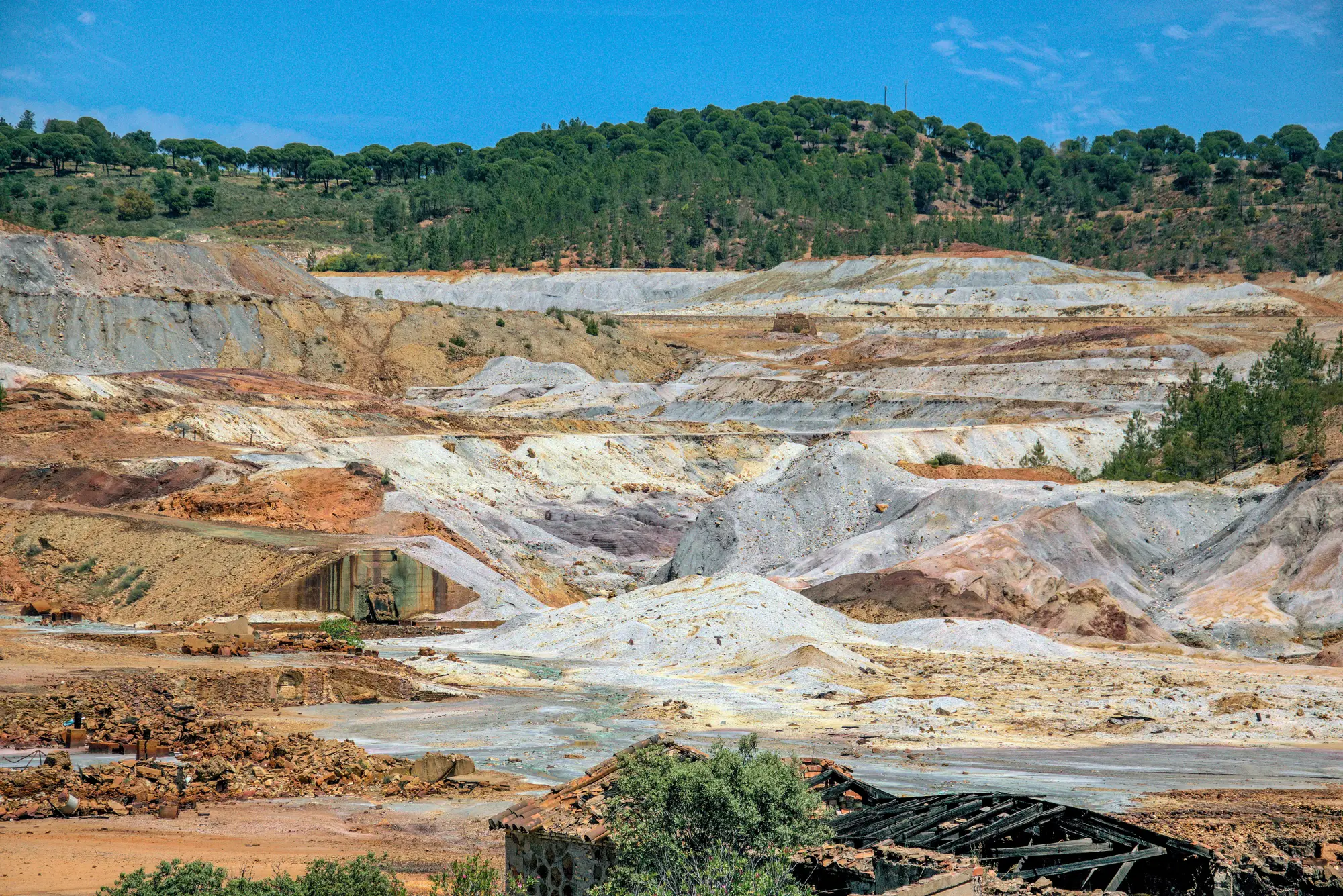
If you're choosing between satellite InSAR and a ground prism network for crest displacement monitoring, the honest answer is that you're probably not choosing. Most facilities running either method still rely on eyes-on walkdowns to catch the things neither one is built to see.
What a ground prism survey measures
A robotic total station shooting reflectors on the crest and berms is still the most direct way to get displacement numbers you can put in a dam safety review. Set the prisms on survey-grade monuments, tie them to stable control outside the influence zone, and you get repeatable horizontal and vertical movement at each point, on whatever schedule your instrumentation plan calls for.
The catch is coverage and upkeep. Prisms only tell you about the points you put them on. A new tension crack opening up twenty meters from the nearest reflector won't show up until someone notices it on a walkdown or decides to add a point there. And a robotic total station on an active raise needs line of sight maintained as the embankment geometry changes, which means re-siting instrument houses and re-running control as construction moves. On a facility with an upstream or centerline raise in progress, that upkeep becomes a recurring line item in the survey budget for as long as the raise continues.
What satellite InSAR adds, and where it stops short
InSAR works differently. Two radar passes over the same ground, compared for phase difference, give you line-of-sight displacement across a wide area with no instruments on the embankment at all. For a facility with no prism network, or one where the TSF footprint is too large or too remote to instrument densely, that area coverage is the appeal. You can pick up subsidence or settlement patterns across the whole impoundment, not just at the points someone chose to put a reflector on.
It has real limits on a tailings facility specifically. Fresh tailings deposition, vegetation on the beach, and construction disturbance during an active raise all degrade the radar coherence the technique depends on, which means the areas most likely to be moving are sometimes the areas InSAR reads least reliably. Revisit cadence depends on the constellation tasked, and a displacement signal that develops and partially recovers between passes can get missed entirely. It also measures what moved, not why, so a displacement reading from InSAR and a cracked crest line you'd see on a walkdown are two different kinds of evidence that don't always arrive on the same schedule.
Where this leaves a facility between surveys
Neither method was built to catch the thing that actually gets missed most often: a visible change on the crest or beach that develops between your scheduled survey epochs and your quarterly walkdown. A scarp starting to form, a section of crest line that's gone out of alignment, a wet area showing up where the beach used to be dry. None of that needs millimeter precision to matter. It needs someone, or something, looking at the facility more often than once a quarter.
That's the gap a weekly imagery pass is built to close, sitting between your survey program and your next scheduled walkdown rather than replacing either one. It won't give you the displacement numbers a prism network or InSAR epoch produces, but it will put a current image of the crest line, the beach, and the seepage faces in front of you every week, flagged against your own baseline, so a slow-building problem doesn't get eight or thirteen weeks to develop before anyone sees it.
If the question you're asking is "how do I know something changed since last quarter," that's a different question than InSAR vs prisms, and it's worth answering with imagery, not just another survey method.
Tailings Dam Monitor exists to answer exactly that question, one weekly log entry per facility at a time.