Blog
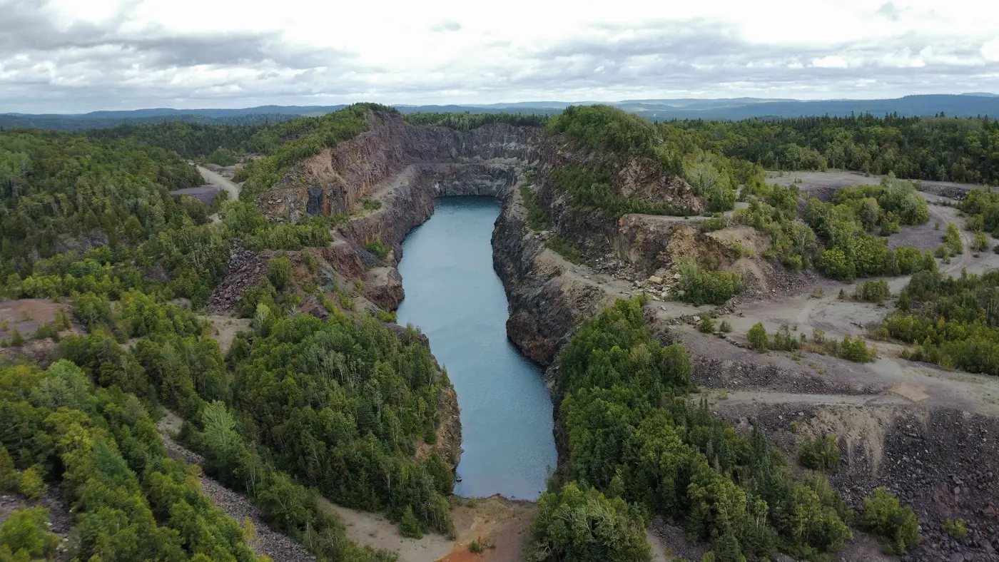 Field notes: the week the decant pond crept three metres and nobody logged it
Why a slow pond migration toward an embankment so often goes unlogged, and what the quarterly walkdown gap costs.
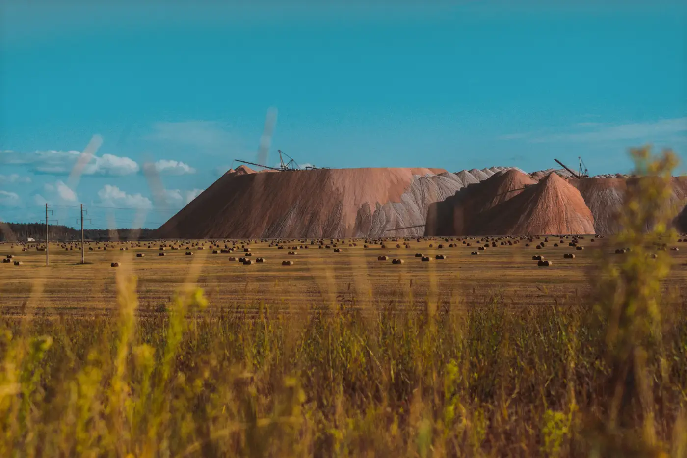 What an independent tailings review board expects between audits
What an Independent Tailings Review Board actually checks, and what it expects to see in the record between its scheduled annual visits.
- How to read a dam safety inspection report before your quarterly walkdown
A practical guide to reading your EOR's inspection report and turning its findings into a checklist for your next quarterly walkdown.
 What is a phreatic surface in a tailings dam?
A plain explanation of the phreatic surface in a tailings embankment, why its position drives stability, and how seepage signs show it between walkdowns.
- Field notes: the week the beach narrowed and nobody wanted to say why
A field note on how beach width erodes a few meters at a time across quarterly walkdowns, and why each report finds a different excuse for it.
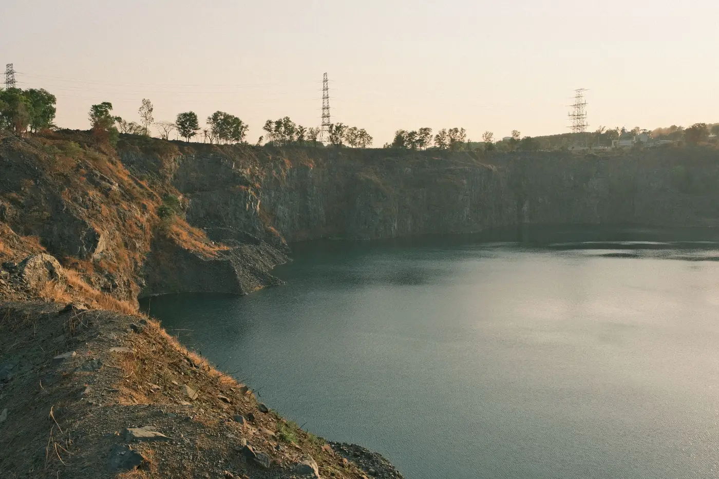 How to measure beach width from satellite imagery at a tailings facility
A practical look at how beach width gets measured from VHR satellite and aerial imagery, and what resolution you need to trust the number.
- Wet tailings vs dry stack tailings: why the monitoring checklist isn't the same
Wet-tailings and dry stack facilities fail differently, so the weekly indicators worth watching between walkdowns aren't the same either.
- What a consequence classification is, and why it sets your inspection frequency
How tailings dam consequence classification drives inspection frequency, and why extreme-consequence facilities need more than a quarterly walkdown.
- How to set a TARP trigger threshold for tailings dam freeboard
A practical approach to setting freeboard trigger levels in a tailings dam TARP, built around design freeboard and your real surveillance cadence.
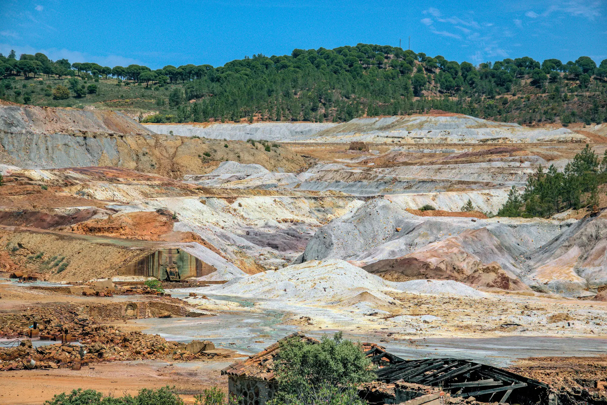 InSAR vs ground prism survey for tailings dam crest movement
A practical comparison of satellite InSAR and ground prism survey for tailings dam crest movement, and where each one leaves a gap.
- Beach width vs. pond level: what's the difference?
Tailings beach width and supernatant pond level get used interchangeably on inspection logs. They track different failure modes. Here's the distinction.
- How to measure freeboard from satellite imagery
Freeboard estimation by remote sensing: how crest-to-pond elevation gets pulled from VHR imagery, and where the method runs out.
- Upstream, downstream, centerline: reading raise type from satellite imagery
How to tell upstream, downstream and centerline tailings dam construction apart in satellite and aerial imagery, and why raise type changes what to watch.
- What causes seepage staining on a tailings dam face
A field guide to the common causes of downstream face discoloration on tailings dams, and how to tell a stain that matters from one that doesn't.